Lake Taihu region is situated in the transitional east and south monsoon climate belt from
:.the outhern part of the north subtropic zone to the northern part of the central subtropic zone.
: There are four distinct seasons, with a long frost-free duration, rich heat and sufficient rainfall.
01~ average annual accumulated sunshine time is about 2 000 to 2 200h; the average total sun ra-
diation is 462 to 504 kJ/cm2; the average annual temperature is 14.9 to 16.2 ~ and 27.7 to
-I~[6~ in July and 1.7 to 3.9~ in January; the average annual frost-free duration lasts 220 to
,'~16d; the annual active accumulation temperature over 10 ~C is 4 760 to 5 200~2; and the aver-
~annual precipitation is 1 000 to I 400mm, which varies greatly in different years. The precipi-tation in summer takes up 35% to 40% of the year's total, and the rainfall in spring, autumn,c~nd winter respectively amounts to 26% to 31%, 18% to 23%, and 11% to 14%. The regiona warm and wet summer, when the southeast wind prevails, and a cold and dry winter, whenthe northwest wind dominates. Early summer here witnesses a period of plum rain,' and ty-.I/Joons which come twice on the average annually and the storms they bring along have great in-fluence on the region.Water surface amounts to 17.5% of the total area of the region. Most part of the region is
: &vast plains amounting to 58.3 % except the hills in its west and southwest part, which amount't0 24 2%, mostly at dozens or hundreds o('meters elevation, with a few over 700m and ~' , Mount L0ngwang, the highest peak of the Tianmu Mountains, is I 587m high. The soil in the hilly re-i~, gion is mainly of yellowish brown soil and red soil. The vegetation here is mostly of remnant sec-~ 0ndary forests, mainlycomposed of deciduous broad-leaf forests, evergreen broad leaf forests,and subtropic conifer forests. Bamboo groves, economic forests, bushes, and clusters of grassare also developed. The vegetation plays an important role in the conservation of water and soil.
The land elevation of most plains is about or below 10m (taking Wusong standard as the zeropoint) for the low lying ground in its eastern part it is only about 3m, and the soil in the plains ismainly of paddy soil and marsh soil. Paddy soil is very fertile: over 80% of the cultivated layerscOntains 2% to 3.5% of organic matters.The Taihu Plain is formed of the sedimentation of the Quaternary period, mainly of silt
brought by the Changjiang River, the Qiantang River, Lake Taihu, and the East China Sea, for-med under the joint action of alluviation of the lake and the sea.The Taihu Plain is higher around its edges but low in the center. Danyang County and Wuj-ing County in its northwest have plains with an elevation of 5.5 to 8m; the land and islets alongthe river in Jiangyin, Changshu, and Taicang in its north east are 4.5 to 6m, while the land alongthe Qiantang River are 4 to 5m high, where the soil is sandy. The central part of the lake region
is plains with a net of rivers. Areas of Kunshan, Wujiang, Changshu, Qingpu, Songjiang,Jinshan and Jiashan are of low-lying flat land with many rivers and lakes, whose elevation is on-ly 2.5 to 3.5m, known as the "Yang-Cheng-Dian-Mao Depression", often suffering from flood
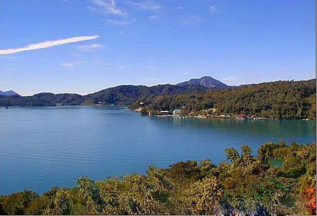
and water logging in rain season.Lake Taihu is 68.5km long (N-S) and averagely 34km wide (E-W), with a total shorelength of 405km.
Related books